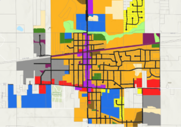


New GIS mapping tools can now be accessed from the Village website by clicking on the “Mapping Hub” box found near the middle of the front page. Six mapping tools are currently available, including Parcel Finder, Village Zoning, Future Land Use, Park System, Roads/Infrastructure Plan and Child Safety Zones. Property information available on the Parcel Finder is updated daily from the Racine County land records system. Village staff will soon be using GIS mapping technology to more effectively track and maintain infrastructure, such as water, sewer and storm water assets. Questions or suggestions on the public mapping tools are welcomed at info@uniongrove.net.
New Online Mapping Tools Available